ABOUT US

01
DESIGN AND SUPERVISION OF CIVIL WORKS
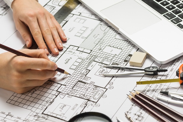
Our services are to provide clients’ infrastructure needs, to design infrastructure solutions based on data, design, regulation and surrounding situation.
The purpose of design and supervision of civil works is to provide development with a supportive infrastructure solution to create a sustainable development. Our civil infrastructure design provide your project with a solution that considers feasibility, safety, flood risk, budget, regulation, and construction.
- Flood Control Study
- Stormwater Drainage System
- Grading Plan and Earthworks
- Road and Pavement
- Bridge
02
TOPOGRAPIC SURVEY & MAPPING
Determining the relative locations of points and places on the earth’s surface by measuring horizontal distances, differences in elevation and directions.
The purpose of topographic survey is to gather survey data about the natural and man-made features of the land as well as its elevations. Our topographic survey and mapping data can be used in the design and construction of the project such as grading plan, cut and fill analysis, and flood risk study.


03
DESIGN AND SUPERVISION OF ME&P WORKS
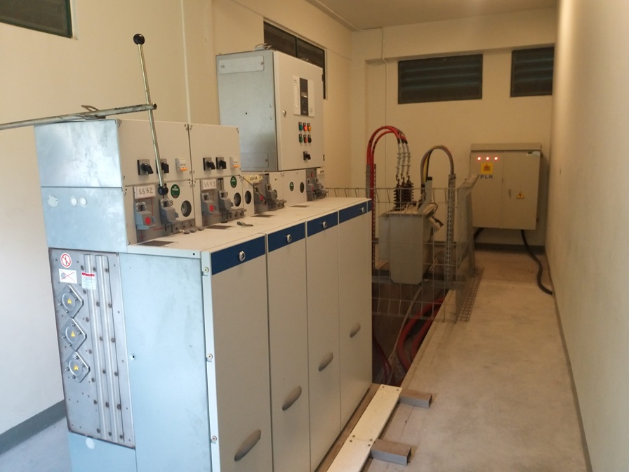
Our services are to provide landed development need of mechanical, electrical and plumbing infrastructure design, to design MEP solution based on population, demands, and availability.
Our MEP Infrastructure design solution provides your project with a solution that considers land usage, capital and operational expenditure, operability, construction, and future conditions.
- Power Supply
- Telecomunication and Fiber Optic Network
- Water Supply
- Waste Water & Sewage
- Garbage Management
- Lightning Protection
- CCTV and Security Network
